Maps of Iraq with Notes for Visitors, 1929
Baghdad and London: Government of Iraq
1721
Further images
Quarto. 34pp + 8 fold-out maps printed in three colors. A significant document recording the cartographical intervention of the British government in the affairs and perceptions of its then-colony. The...
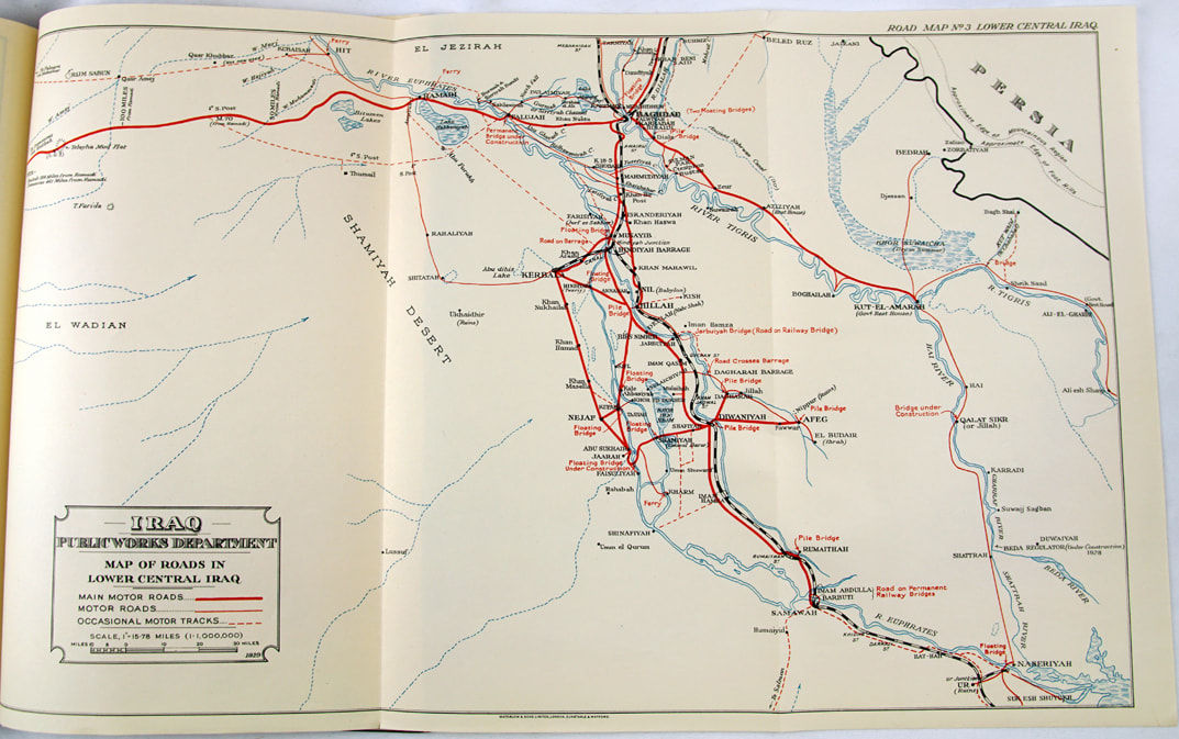
Quarto. 34pp + 8 fold-out maps printed in three colors. A significant document recording the cartographical intervention of the British government in the affairs and perceptions of its then-colony. The relationship never stabilized (as much as any imperial claim can be said to do so), and in 1932 Iraq would become independent. But here in 1929, the governments of Britain and Iraq attempt to frame the Middle Eastern nation as an appealing historical landmark and even a casual tourist destination. Among the fold-outs are several road maps, a city map of Baghdad, and a map of all the ancient sites presumably of interest (e.g. Babylon, Ur, and Seleucia). The controlling exertions of the colonial power are most overt at the fifth map for "Trans-Desert Routes," where an outline of England is provided "for scale." Though the foreword declares the contrary - the notes "should not be regarded as necessarily containing the views of the Ministries of the Government - the tables of northern and southern "tours" and a nod to consumer air travel proves the opposite. Bound in red cloth over boards with gilt titling at upper cover. Modest edge rubs and bumps, some creasing to sixth map, which overlaps fore-edge, else near fine. Unrecorded in OCLC.


